33 results
Search Results
2. (Covers to) H. Kiepert's Karte des nordlichen tropischen America. A new map of Tropical-America north of the equator comprising the West-Indies, Central-America, Mexico, New Granada and Venezuela. Composed with the help of all cartographic and litterary (sic) materials hitherto published and dedicated by permission to His Excellency Baron Alexander von Humboldt By H. Kiepert, Ph. Dr. M.R., Acad. Berlin, F. Geogr. Soc. of. Berlin, Paris and Vienna. 1858. Published by Dietrich Reimer, Berlin. Lithogr. and printed by C. Monecke, Berlin. Lith. Inst. von C. Monecke in Berlin. (with) Central part of the Mexican Republic ... based on the surveys published by A.v. Humboldt, v. Gerolt, Heller, Smith and the Sociedad Mejicana de Geografia t Estadistica.
3. H. Kiepert's Karte des nordlichen tropischen America. A new map of Tropical-America north of the equator comprising the West-Indies, Central-America, Mexico, New Granada and Venezuela. Composed with the help of all cartographic and litterary (sic) materials hitherto published and dedicated by permission to His Excellency Baron Alexander von Humboldt By H. Kiepert, Ph. Dr. M.R., Acad. Berlin, F. Geogr. Soc. of. Berlin, Paris and Vienna. 1858. Published by Dietrich Reimer, Berlin. Lithogr. and printed by C. Monecke, Berlin. Lith. Inst. von C. Monecke in Berlin. (with) Central part of the Mexican Republic ... based on the surveys published by A.v. Humboldt, v. Gerolt, Heller, Smith and the Sociedad Mejicana de Geografia t Estadistica.
4. Carte Panoramique de L'isthme de Darien Central [Etats-Unis de Colombie] Publiee Par La Societe Internationale du Canal Colombien (41, Rue de Douai) D'apres la Carte de Mr. L. de Puydt, Chef des expeditions scientifiques en Colombie pendant les annees 1861-1865 & 1866.
5. America Centr., India Occid., Columbia, Venezuela e Guaiana : Carta fisico-politica. Istituto Geografico de Agostini - Novara, di Cesare Rossi e dott. A. Marco Boroli.
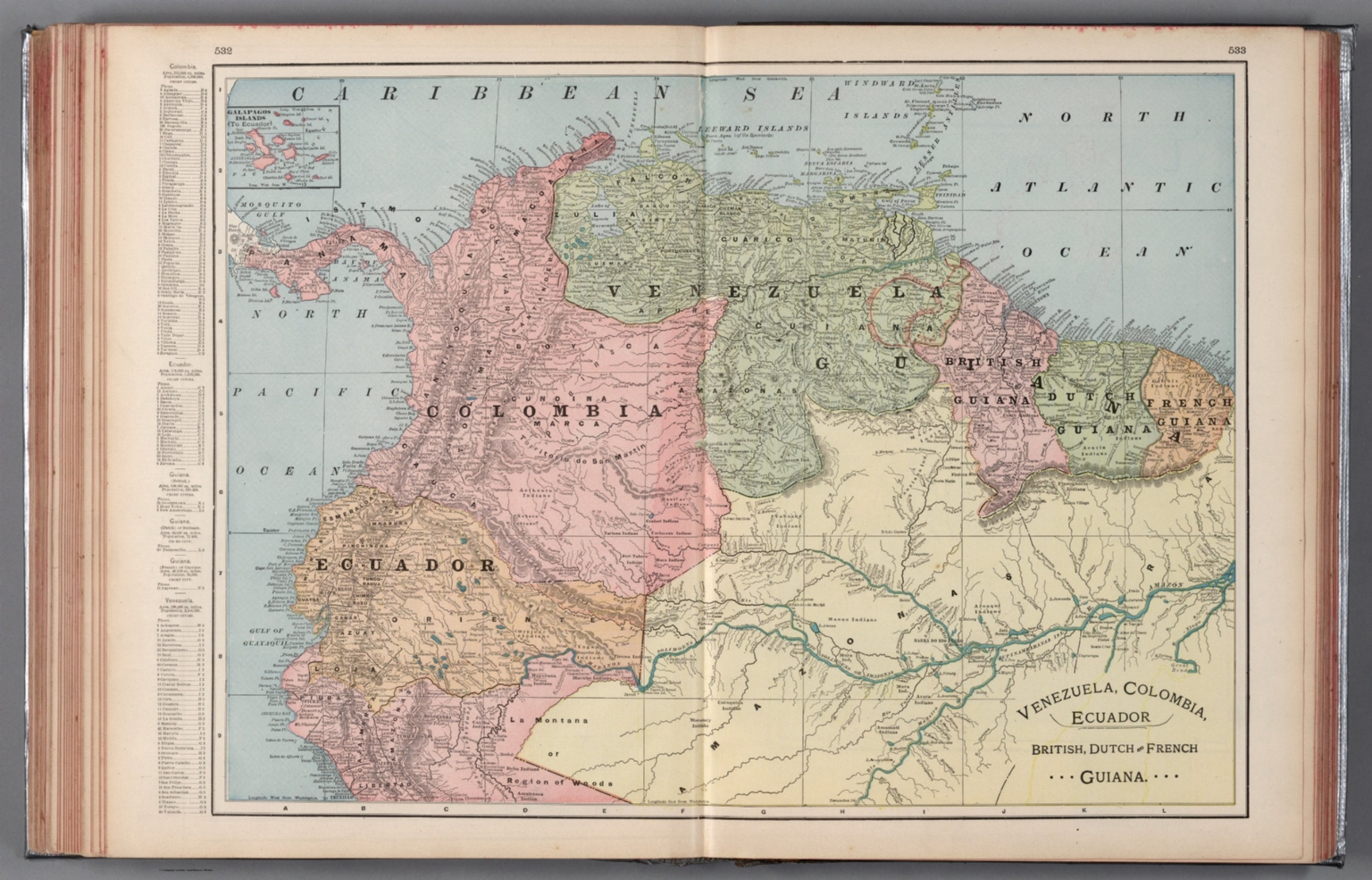
6. Venezuela, Colombia, Ecuador, British, Dutch and French Guiana.
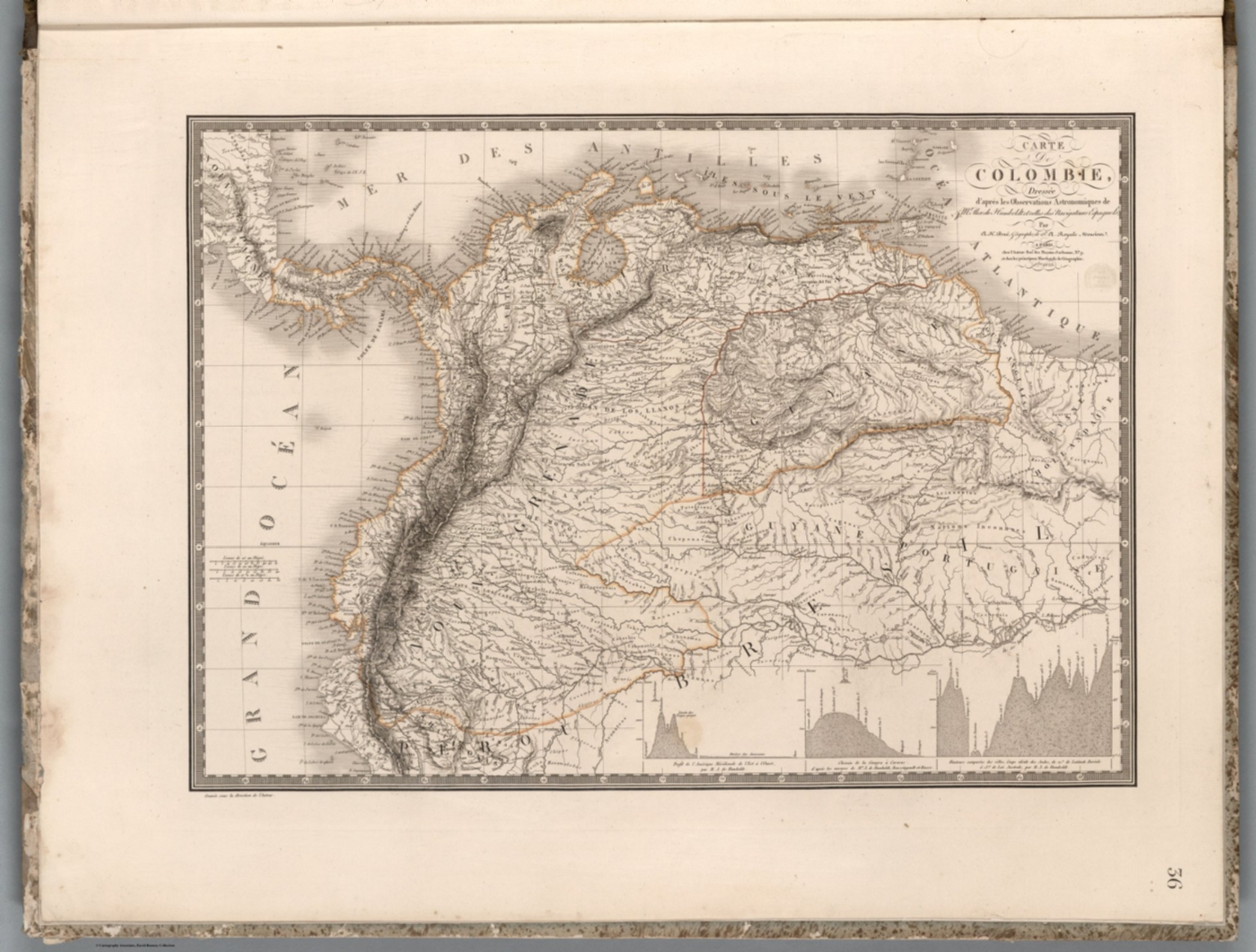
7. Carte de Colombie : dressee d'apres les Observations Astronomiques de Mr. Alex. de Humboldt et celles des Navigateurs Espagnols, par A. Brue ... Paris. 1823. Chez l'Auteur. (to accompany) Atlas physique et politique des cinq parties du monde, par H. Brue.
8. Venezuela, New Grenada & Equador. 43. Entered ... 1859, by Charles Desilver ... Pennsylvania. (inset) Map of the Communications by Railroad across the Isthmus of Darien from Aspinwall to Panama. (to accompany) A New Universal Atlas Containing Maps of the various Empires, Kingdoms, States and Republics Of The World.
9. Carte de la Republique de Colombie. Par L. Vivien, Geographe. Grave par Giraldon Bovinet. 1826. Paris. Chez Menard et Desenne, Rue Git le Coeur, No. 8.
10. Colombia. Drawn and Published by F. Lucas Jr., Baltimore. Young & Delleker, Sc. Philada. (1822)
11. Republica de Colombia, Mapa Fisico Politica.
12. Carthagena. Engraved for Luffman's Select plans. Engrav'd & Publish'd Feby. 1.1802, by J. Luffman. London.
13. XXII. Carte generale de Colombia.
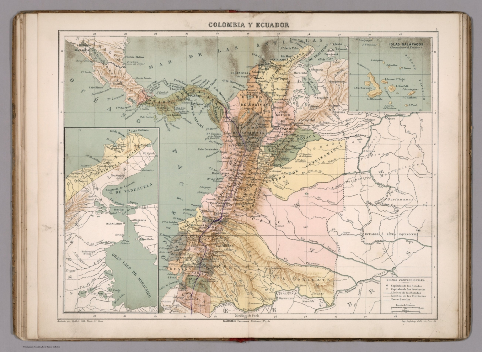
14. Colombia y Ecuador. Grabado por Guillot. Garnier Hermanos, Editores, Paris. Imp. Dufrenoy. (To accompany) Atlas geografico de America ... Por N. Estevanez. Paris : Libreria de Garnier Hermanos. 1885. (insets) Peninsula de Guajira. (with) Islas Galapagos.
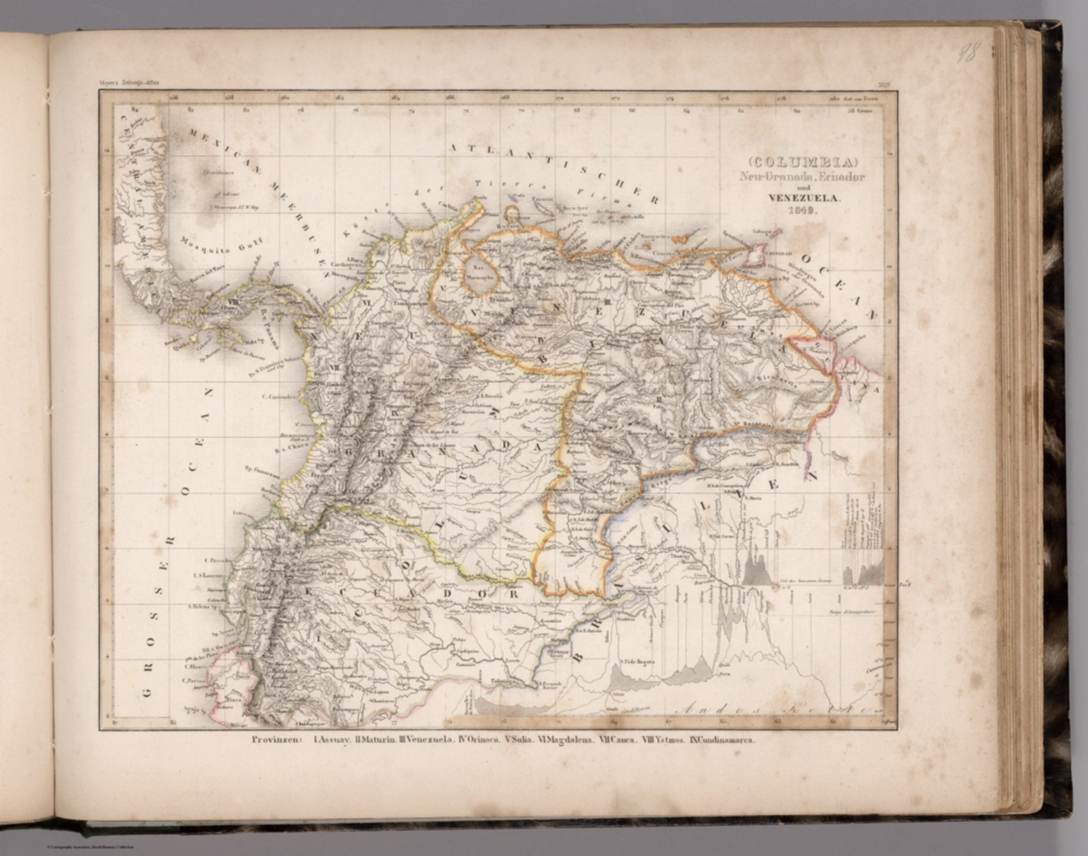
15. (Columbia) Neu-Granada, Ecuador und Venezuela. 1849. (in upper margin) Meyer's Zeitung Atlas. No.17. (to accompany) Neuester Zeitungs-Atlas fur Alte und Neue Erdkunde. Herausgegeben von J. Meyer. (inset Profiles) Andes Kette. (with) Fall des Amazonen Stroms.
16. Carte generale de Colombie, de la Guyane Francaise, Hollandaise et Anglaise. Redigee par A.H. Brue, Geographe du Rio ... Paris, 1826. Chez l'Auteur, rue des Macons-Sorbonne, no. 9, et chez les principaux m(archan)ds de cartes geographiques. (to accompany) Atlas de choix ou Recueil de cartes de geographie ancienne et moderne.
17. Ecuador, Colombia, Venezuela, Guiana. (inset) Bogota. (inset) Caracas. Pergamon World Atlas. Pergamon Press, Ltd. & P.W.N. Poland 1967. Sluzba Topograficzna W.P.
18. South America - Physical. Colombia, Venezuela, Trinidad and Tobago, Guiana. Pergamon World Atlas. Pergamon Press, Ltd. & P.W.N. Poland 1967. Sluzba Topograficzna W.P.
19. Geographical, Historical, And Statistical Map Of Colombia. Colombia. No. 47. Drawn by J. Finlayson. Engr. by J. Yeager.
20. Colombia.
21. Colombia. Young & Delleker Sc. Philada. Drawn and Published by F. Lucas Jr. Baltimore.
22. Colombia. By Sidney Hall. London, published by Longman, Rees, Orme, Brown & Green, Paternoster Row, Decr. 1828.
23. Colombia Peru &c.
24. Venezuela, New Grenada & Equador. Entered ... 1850, by Thomas, Cowperthwait & Co. ... Pennsylvania. (inset) Map of the Communication by Railroad across the Isthmus of Darien from Victor Bay to Panama.
25. Scotland. United States of Colombia. Austria. Sweden and Norway.
26. Colombia & Guiana. (to accompany) A Comprehensive Atlas, Geographical, Historical & Commercial. By T.G. Bradford. William D. Ticknor, Boston. Wiley & Long, New-York. Entered ... 1835, by Thos. G. Bradford ... Massachusetts.
27. Venezuela, United States of Colombia and Ecuador. Isthmus of Panama. (to accompany) Mitchell's New Reference Atlas for the Use of Colleges, Libraries, Families and Counting Houses. Philadelphia: Published By E.H. Butler & Co. 1865.
28. Colombia et Guyanes. Dressee par C.V. Monin. Paris. Armand Aubree, Editeur. Rue Taranne, 14. Grave sur Acier par Laguillermie, Rue des Noyers, No. 56, a Paris. Imprimee par Mangeon. Ecrit par Benard, Rue St. Jacques, 51. (1837)
29. Central America (Southern Part) Including The United States of Colombia and Venezuela.
30. Carte de Colombie et des Guyanes. Dressee par M. Lapie, 1er. Geographe du Roi et M. Lapie, Lieutenant Ingenieur Geograp(h)e. Paris, 1828. Chez Eymery Fruger et Cie., Rue Mazarine No. 30. La gravure dirigee par Lallemand.
31. Colombia & Guiana. (to accompany) A Comprehensive Atlas, Geographical, Historical & Commercial. By T.G. Bradford. Boston: American Stationers' Company. Entered ... 1835, by Thos. G. Bradford ... Massachusetts.
32. (Text Page to) Colombia. (to accompany) A Comprehensive Atlas, Geographical, Historical & Commercial. By T.G. Bradford. Boston: American Stationers' Company. Entered ... 1835, by Thos. G. Bradford ... Massachusetts.
33. Terra Firma et Nova Regnum Granatense et Popayan.
Discovery Service for Jio Institute Digital Library
For full access to our library's resources, please sign in.


