Back to Search
Start Over
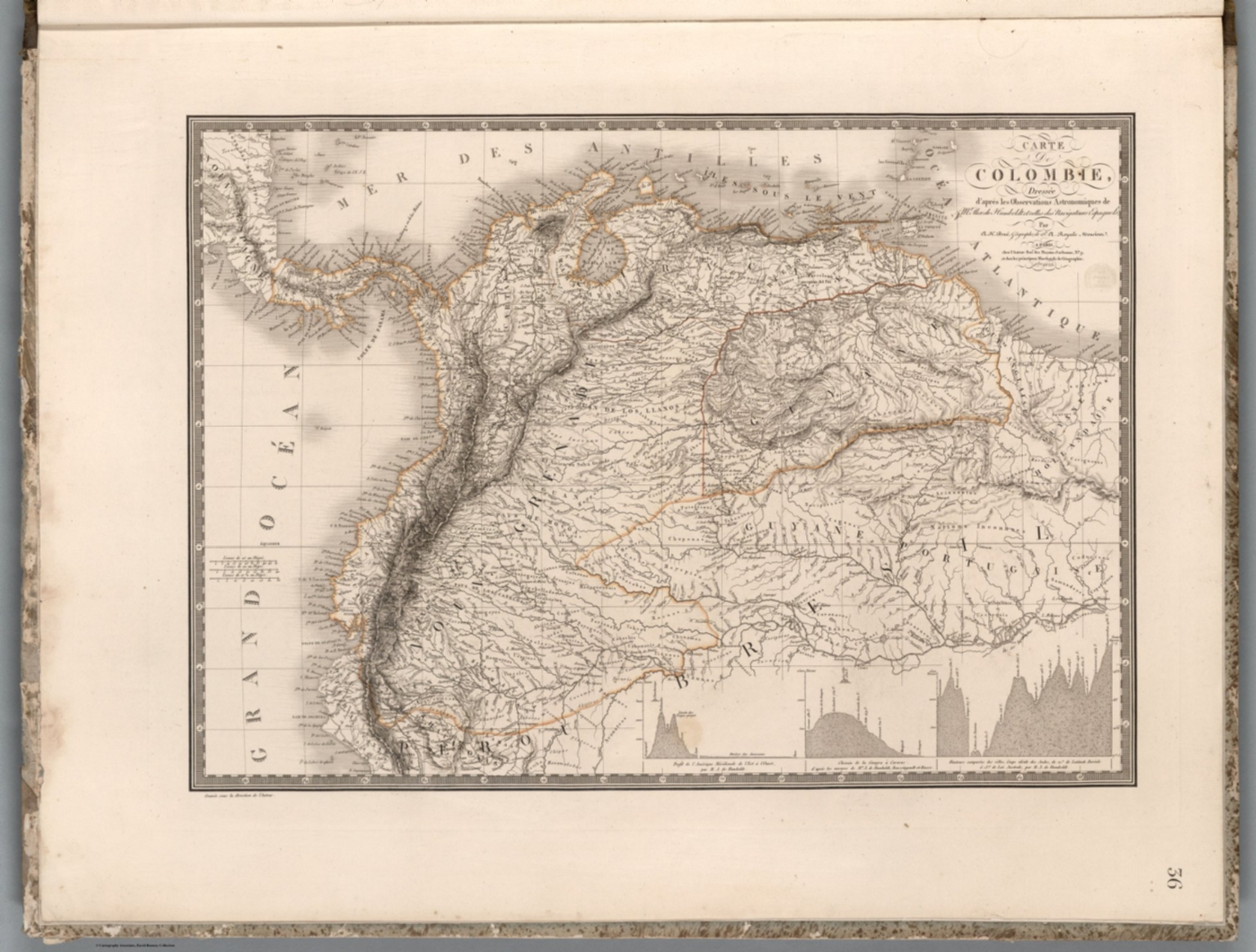
Carte de Colombie : dressee d'apres les Observations Astronomiques de Mr. Alex. de Humboldt et celles des Navigateurs Espagnols, par A. Brue ... Paris. 1823. Chez l'Auteur. (to accompany) Atlas physique et politique des cinq parties du monde, par H. Brue.
- Publication Year :
- 1823
- Publisher :
- J. Andriveau-Goujon, Basset, Paris, Paris, 1823.
-
Abstract
- Outline hand color map. Includes 3 profile diagrams.<br />Physical and political atlas of the world, by Adrien Hubert Brue, containing maps of ancient and modern geography. Published in Paris, by J. Goujon, Geographer-Editor. Unusual edition of Brue's Atlas, complete with its 36 maps on heavy paper, dated between 1762 and 1825 and supplementary 8 maps, in addition to the 36 plates. including: Comparative and figurative table of the height of the main mountains … 1829; La Palestine 1767; 3 plates from an atlas of Africa (nos. 1, 3 and 2); Plate no. 59 United States of Mexico, 1830, and plates nos. 64-65, South America, 1828-1830. Maps are engraved hand color in outline. Most maps double page, with title cartouche, some on multiple plates. Showing political and administrative boundaries, cities, towns, roads, exploration routes, rovers, canals and mountains. Relief shown by hachures and pictorially. Depth shown by soundings. Prime meridian: Ferro and Paris.
- Subjects :
- Mountains
Subjects
Details
- Database :
- LUNA Commons
- Publication Type :
- Map
- Accession number :
- edsluc.RUMSEY.8.1.350401.90117807
- Document Type :
- World Atlas<br />Atlas Map
