Back to Search
Start Over
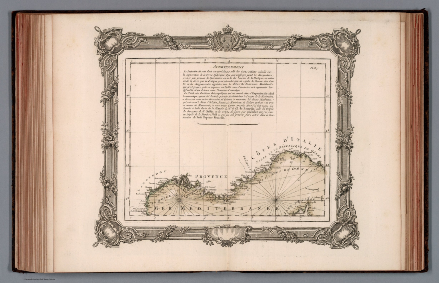
Le petit neptune Francois ou carte des cotes maritimes du royaume : avec une partie de celles d'Angleterre : dans laquelle on voit les ports ou havres, les bayes, les rades, les sondes, les bancs-de-sable, les rochers, ecueils, caps, &c. Dressee d'apres les cartes hydrographiques particulieres qui ont paru jusqu'a ce jour assujetties aux observations des astronomes et des navia ateurs. Par m. Rizzi Zannoni. A Paris, chez le Sr. Desnos, M.DCCLXVI (1766). (to accompany) Coup d'oeil general sur la France, par M. Brion ... A Paris Grange Imprimeur-Libraire … M. DCC. LXV. (1765).
- Publication Year :
- 1766
- Publisher :
- Grange, Guillyn, Desnos, Paris, 1766.
-
Abstract
- Hand colored chart of the coastal outline of France with the the Mediterranean Sea, sheets 37. Showing coastal towns, ports and harbor. Depth shown by soundings. Includes text.<br />One of the earliest statistical atlases. Revised edition, eighteenth century atlas of France in 4 parts containing 60 maps and charts, including travel guide, updated by Sieur Desnos. Bound in contemporary French mottled calf, spine gilt with crimson morocco label "Brion - Atlas France". The atlas is the work of two cartographers of the mid-eighteenth century, Royal geographer Louis Brion de la Tour and publisher Louis Charles Desnos. A wide range of statistical information - relating to the population, finances, and government of France - is here presented in interrelated charts and maps. Pagination not in sequence, some pages not numbered. The atlas is comprised of several discrete parts, each with engraved title pages, a full contents, text and dedication: title-page reading 'Coup d'oeil general sur la France.Tableau analytique de la France, engraved title, 33 plates (one large folding, remainder double-page).'Le petit Neptune François, engraved title, 3 double page plates of coastal districts, followed by large folding map captioned "La France divisee en ses LVIII provinces." "L'indicateur fidele ou Guide de Voyageurs", Title, double-page ornamental dedication to Cassini de Thury, followed by 19 maps and charts; followed by letterpress prospectus and both alphabetic place names supplements.
- Subjects :
- Nautical Charts
Subjects
Details
- Database :
- LUNA Commons
- Publication Type :
- Map
- Accession number :
- edsluc.RUMSEY.8.1.313107.90089334
- Document Type :
- National Atlas<br />Atlas Map
