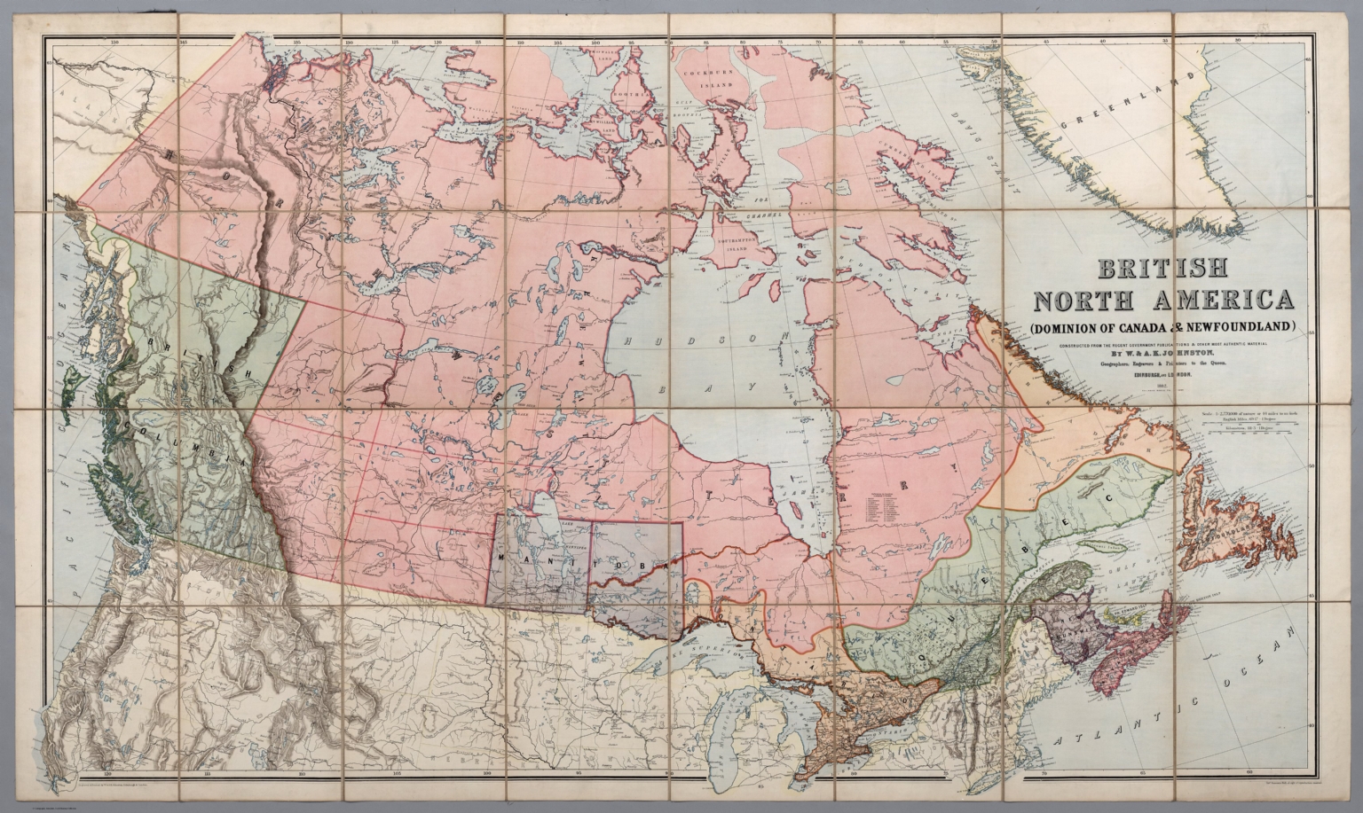
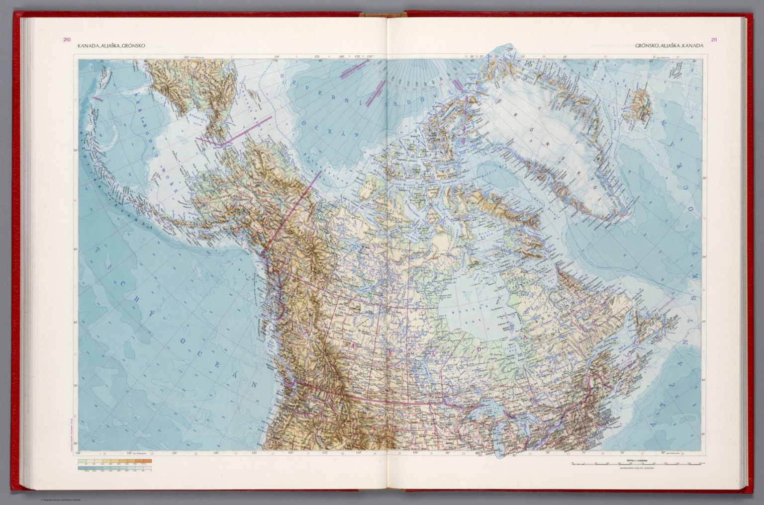
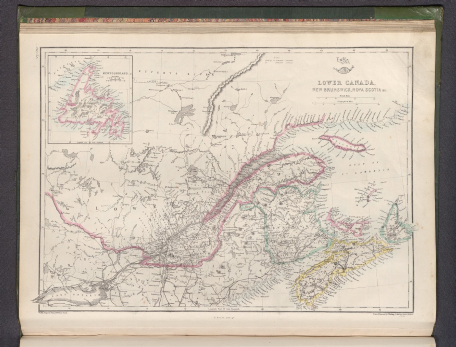
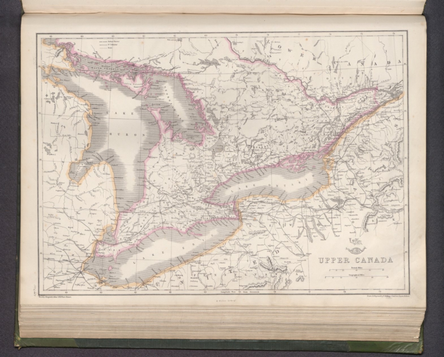
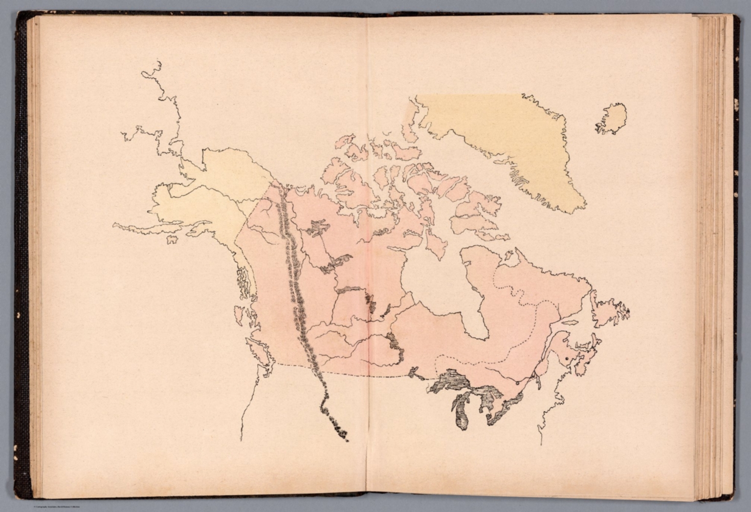
An full color map centered around Hudsons Bay., Full color copy of the first atlas made in the United States to employ standard color on the maps; while the Carey 1795 American Atlas and the Carey 1811 General Atlas list color as an option on the title page, we have never seen any copies of a pre 1814 Carey atlas with original color - they may exist, but would be rare - color was first employed as standard in this 1814 edition - all copies that we have seen have been colored. The 1814 edition is almost entirely new, with most of the maps reengraved. The 1804 edition before this was essentially the same as the 1795 first edition. This 1815 edition changes two maps from the 1814 edition: North Carolina and the Russian Empire. The preface remains dated March 17th, 1814, the same as the 1814 edition preface. This 1815 edition should probably be called the 2.5 edition even though Carey does not label it as such, because Carey calls the 1818 edition the third edition and we call the 1814 edition the 2.0 edition. The Map of the United States is an updated copy of the U.S. map engraved by Henry Tanner that appeared in the first edition of Melish's Travels In the United States, published in 1812. A second Map of the United States of America by H.S. Tanner is tipped in after the standard U.S. map. It is from Tanner's 1812 College Atlas (see our 12139.009). Bound in quarter leather, brown paper covered boards. From Ruderman description: "An Extraordinary Full Original Color / Extra-Illustrated Example With An Important American Provenance The First Atlas in the United States With Standard Color on the Maps With Important Maps of the West (Including Texas) Beginning in 1814, Mathew Carey introduced several significant innovations to Carey's General Atlas. These included a new set of plates, replacing those in use since 1794-'96 in his American Atlas, General Atlas for Gutherie's Geography, and General Atlas. In addition, for the first time in America, Carey offered the atlas in original outline color, making it one of the earliest American color plate books and the first American Atlas to employ hand coloring. The present example, unlike the standard outline color, is offered here in full original wash color. This is only the second complete example of the atlas we have seen in full original color. In addition, the present example includes an extra map, A Map of the United States by H.S. Tanner, which was likely first issued in about 1822 or 1823 and intended to be folded into William Darby’s Universal Gazetteer, although the present example shows no signs of having been folded into another book. The present example bears an imprint date of 1815, which is also extremely rare. The maps in Carey's General Atlas represented a significant step forward in American cartographic content. Of particular note here is the map of the Missouri Territory, which incorporates recent information from Lewis & Clark (see below). Interestingly, this atlas was published 1814, the same year as the first edition of the official History of the Expedition under the Command of Captains Lewis and Clark (Philadelphia, 1814), with its famous and influential map of Western America. In fact, Matthew Carey had published Patrick Gass's journal, the first book length work stemming from the Lewis & Clark expedition, in 1810: Carey's interest in geography and exploration ran deep and helped shape both his own writing as well as the titles he published. Significant in Carey's connection to the Lewis and Clark Expedition was his publication of Thomas Jefferson's Notes on the State of Virginia (1794)... containing a "Map of Virginia" by Samuel Lewis...Carey also hired Samuel Lewis, a skilled cartographer who later redrew William Clark's map of the American West... - The Literature of the Lewis and Clark Expedition, page 98. Carey is also considered America's first commercial publisher. In the lower margin of the first page of Carey's Prefatory Remarks is printed: (Price Fifteen Dollars), a princely sum in 1814 for an atlas or any book! Rumsey (4577) says of the 1814 edition of Carey's General Atlas: The first atlas made in the United States to employ standard color on the maps; while the Carey 1795 American Atlas and the Carey 1811 General Atlas list color as an option on the title page, we have never seen any copies of a pre 1814 Carey atlas with original color - they may exist, but would be rare - color was first employed as standard in this 1814 edition - all copies that we have seen have been colored. This edition is almost entirely new, with most of the maps reengraved. The 1804 edition before this was essentially the same as the 1795 first edition. The preface is dated March 17th, 1814. This edition should probably be called the second edition even though Carey does not label it as such, because Carey calls the 1818 edition the third edition. The Map of the United States is an updated copy of the U.S. map engraved by Henry Tanner that appeared in the first edition of Melish's Travels In the United States, published in 1812. This issue is late 1814. See our early 1814 for differences. Bound in quarter leather, brown paper covered boards. Likely Used by Fur Traders This 1814 Carey's General Atlas is among the small group of maps and atlases that Alson J. Smith has suggested were likely used by the fur traders and mountain men in their early western explorations in the West during the 1820s: Other maps of the day which the young partners [i.e. General Ashley, Jedidiah Smith, David Jackson, and William L. Sublette] may have had spread out before them on a rude table in a tent (Jedidiah Smith usually carried one) or an Indian lodge, with the drunken revelry of the rendezvous sounding about them, were M. Carey's General Atlas, Philadelphia, 1814 - Alson J. Smith, Men Against the Mountains, page 46. Samuel Lewis's map of Missouri Territory Formerly Louisiana - Freshly Influenced by Lewis and Clark: Lewis and Clark influence is apparent on the Upper Missouri and also along the Columbia. Missouri Territory extends west to the Pacific Coast, its probable northern and southern boundaries being shown by colored dotted lines. The northern line runs easterly from Mr. Rainier and includes most of the Columbia watershed, thence north of the Missouri drainage and including that of the Assiniboin (with its large lake), thence east to Lake of the Woods and south to the head of the Mississippi, which then forms the eastern boundary. The southern line leaves the coast just north of F. S. Francisco (whose Bay is not shown), thence easterly and slightly north of the headwaters of the Rio Grande, following south along the ridge east of that stream, southeast to the head of the Colorado (of Texas) and down that stream to the Gulf of Mexico at St. Bernardo B. The State of Louisiana (admitted 1812) appears near the north of the Mississippi - Wheat, Mapping the Transmississippi West 315. Mexico or New Spain (including Texas) Matthew Carey's double-page engraved map of Mexico includes Texas and New Mexico, and it is among the first regional maps of the Southwest and Mexico to be published in an American atlas. Published in the midst of Mexico's War of Independence (1809-1821), the map appears at a fascinating time in Mexico's history. Of note is that vast portion of Northern Texas, which is left blank, extending nearly to the Rio Grande River. As described below, this is almost certainly a direct result of the then raging political question over whether the United States had acquired Texas as part of the Louisiana Purchase (discussed below), in addition to the paucity of information available to mapmakers for a region which is here so conspicuously blank. Carey's map reflects the information from Alexander von Humboldt's seminal map of Mexico but pre-dates Pike's explorations. The map extends north to show Lake Timpanogos and covers most of Colorado and New Mexico, as well as providing details in Texas, including the naming of Bejax, Cibola, Provincia, S Josef, Nuestra Sra del Rosario, Galveston Bay, and the name Texas itself. The details along the Rio Grande and in Southern Arizona is also excellent. Historical Context of Carey's Mexico Map Carey's map was produced at time when the question of ownership of what would become Texas and New Mexico were still very much in dispute. In 1803 the United States acquired Louisiana from Napoleon Bonaparte, with the understanding that the purchase covered all territory ceded by France to Spain in 1762 and then back to France in 1800. As the line between France and Spain in the New World had never been clearly established, Thomas Jefferson's administration seized the opportunity to make the most of its claim to a vast, uninhibited, and largely unexplored land. Jefferson's vision is clearly reflected in the exploratory expeditions commissioned in the years immediately following the Louisiana Purchase. Within a few years of the purchase, Jefferson had authorized 4 expeditions to explore the newly acquired Territory. While the Lewis & Clark Expedition focused on the Northwestern portions the United States, the remaining 3 expeditions, The Dunbar Expedition (1804-1805), the Pike Expedition (1806-1807), and Red River (or Freeman-Custis) Expedition (1806) were all focused on lands that were the subject of competing Spanish claims, provoking diplomatic incidents as a result of American incursions into the disputed territory. While Jefferson's agents were busy testing the elastic boundaries of the Louisiana Purchase, the Spaniards were not idle. Wary of their new neighbor and fearful for their vulnerable possessions in Texas and New Mexico, Spanish officials in New Orleans and beyond hastened to establish their line of demarcation. The matter became even more complex when in December of 1803, the French Prefect of Louisiana, Pierre Clement de Laussat, declared that the western boundary of the Louisiana Purchase lay at the Rio Grande. In 1806, a military agreement was entered into between General James Wilkinson of the United States Army and General Simon Herrera of the Spanish forces, making the country between the Arroyo Hondo and the Sabine River temporarily neutral ground, over which neither the United States nor Spain should exercise political jurisdiction. The agreement was generally observed by both countries; the United States took possession of territory as far west as Natchitoches, while Spain maintained a small garrison at its eastern outpost, Nacogdoches. President Jefferson was convinced as early as 1804 that the territory included in the Louisiana Purchase extended to the Rio Grande. His insistence upon this and his efforts to promote the exploration of the western territory (to some of which Spain claimed unquestionable right), and the border dispute in the Sabine-Red River region, temporarily settled by the Wilkinson-Herrera agreement, brought the United States and Spain near to hostilities. Following a royal order issued in May 1805, Jose de Iturrigaray, the viceroy of New Spain, in January 1806, named Fray Melchior de Talamantes chief of an historical commission created to ascertain from all available sources the true boundaries of the provinces of Texas and Louisiana, before the latter was ceded to Spain in 1762. However, the arrest and deposition of Iturrigaray and the subsequent arrest of Talamantes for his separatist views by the Audiencia of Mexico in September 1808, interrupted the work of this commission. The following month, the Viceroy ad interim, Pedro de Garibay, appointed Fray Doctor Jose Antonio Pichardo (1748-1812), of the congregation of the Oratory of San Felipe Neri, to determine the historic limits of Louisiana and Texas. Over the next four years, Pichardo compiled a monumental defense of Spain's traditional Louisiana boundary with France. Pichardo's treatise was constructed as an argumentative historical treatise, intended to survey and describe "the true limits of the provinces of Louisiana and Texas." The purpose of the Treatise was to respond to and to disprove the claim of the United States that Texas was included in the Louisiana Purchase of 1803. To augment his final report, Father Pichardo then created an elaborate new map, using only the most trustworthy sources--primarily the maps of Jean Baptiste Bourguignon d'Anville, a celebrated French geographer whom he regarded very highly, which he augmented with manuscript maps in the Spanish archives. Finally, the Adams-Onis Treaty of 1819 resolved the land ownership dispute by conceding the validity of Spain's Claims to Texas and the lands east of the Rio Grande, in exchange for Spain's abandonment of its historical claims to Oregon and Florida. North America According to Wheat the North America map is based on much earlier work (compared to the aforementioned Missouri Territory map); he points to its many striking geographic affinities to the North America maps by Tanner (1812) and Lucas (1812). The map includes nice pre-Lewis & Clark information in the Transmississippi West. The "Columbia or River of the West" flows to the R. Oregan, a vestige from the first half of the 18th Century, with a short portage over to a tributary of the Upper Mississippi River. A wide open, convenient passage through the Rocky Mountains accommodates this unusual feature. Apacheria is shown, along with the Pimas, Yuma and other Indian Tribes. On the West Coast, most of the major California harbors are shown, including San Pedro. The Rocky Mountains are still largely unknown south of the Canadian Border. A number of Indian Tribes located. The Northwest Coast reflects the recent discoveries of Vancouver and La Perouse. Decorative swash letter title. Illustrates the still naïve engraving style of American mapmakers in the early 19th Century. One of the most interesting atlas maps of North America from this period. Early American Map Showing Capt. Cook's Discoveries in the Pacific Carey's map of Cook's Discoveries in the Pacific and Hearn's discoveries west of the Hudson, in search of the Arctic Sea, represents one of the earliest appearances of Cook in a map published in America. Excellent conjectural NW Coast of America, predating Vancouver's voyage. Sandwich Islands are shown. Cook's route in each of the years is shown, as is Hearn's trek to the Arctic Sea. Summary In sum, a cornerstone American atlas issued at a critical moment in western borderlands history, by America's first commercial publisher. Provenance: Dr. Thomas Chalkey James (1766 - 1835) The atlas is from the original contents of Dawesfield, Lewis Lane, Ambler, Montgomery County, Pennsylvania - an iconic American farmhouse built by Abraham Dawes and by descent through generations of the female line. It served as the Revolutionary Headquarters of General George Washington from 20th October until 2nd November, 1777. The book is from the personal library of Dr. Thomas Chalkey James (1766 - 1835) (signature on front pastedown) who was married to Hannah née Morris. Dr James was a Philadelphia physician and joined the staff of Pennsylvania hospital. In 1810 he was elected professor of midwifery at the University of Pennsylvania. Dr James was a member of the American Philosophical Society, the librarian of the College of Physicians and a founder of the Historical Society of Pennsylvania. Adams, April 1, 2024 (including approximately 80 lots from Dawesfield House, of which 28 lots were from the Library of Thomas Chalkey James. Rarity The 1815 edition is extremely rare. ", P722, 1372., P722-4, 1372-4.
